A landscape that broadens Leonida’s identity
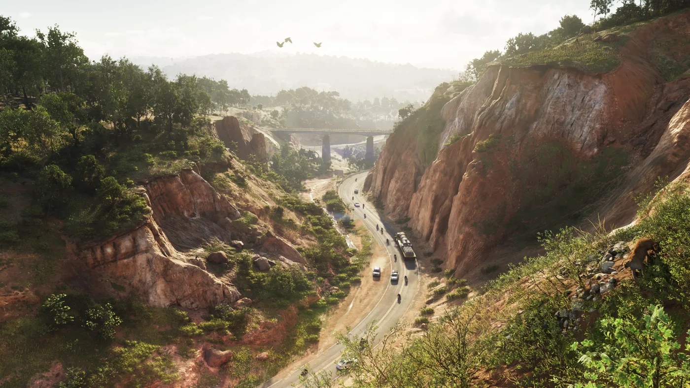
The official collection uses the name Mount Kalaga National Park. Its interest lies in visual contrasts: roads between elevations, dense vegetation and less urbanised spaces. Identifying that contrast does not require assigning every hill to a real location. Geographic inspiration does not establish real-world distances or roads. The area belongs to Rockstar’s fictional world rather than a guaranteed reproduction of a specific American park.
Roads and relief: reading images without inventing routes
The road-between-hills screenshot supports observations about curves, apparent elevation and visible vegetation. It cannot establish traversal time or the fastest route through the park. Perspective, framing and scale affect perceived size. If a community map places the road precisely, examine the reconstruction and its uncertainty before treating it as a tested navigation route.
Bikes and trails in the official scene
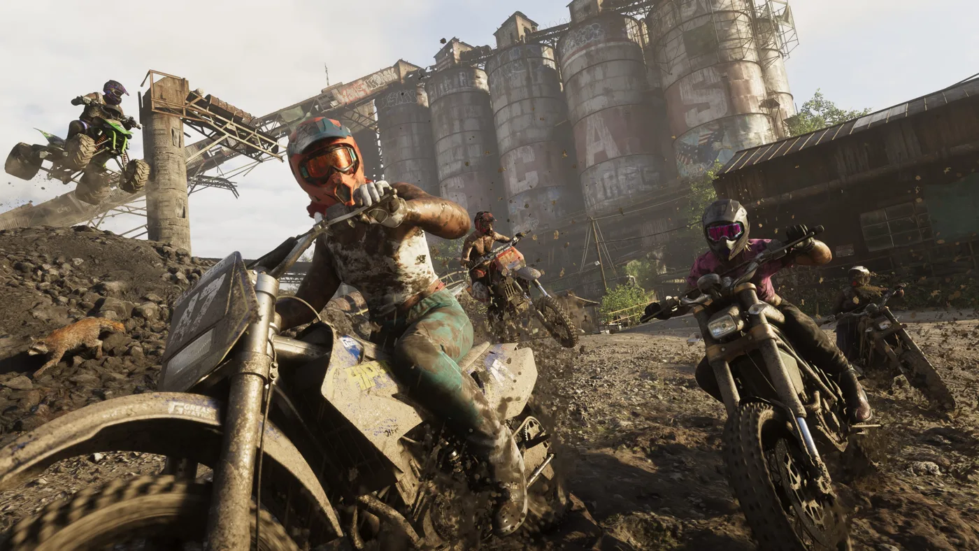
Another collection image shows bikes amid mud and industrial structures. That combination is useful because it challenges the assumption of a park entirely separated from human activity. Vehicles in action do not establish an unlockable competition, a nearby shop or driving requirements. Our handling guide separately explains what needs testing when comparing paved and rough terrain.
Woods, water and wildlife: observe before counting
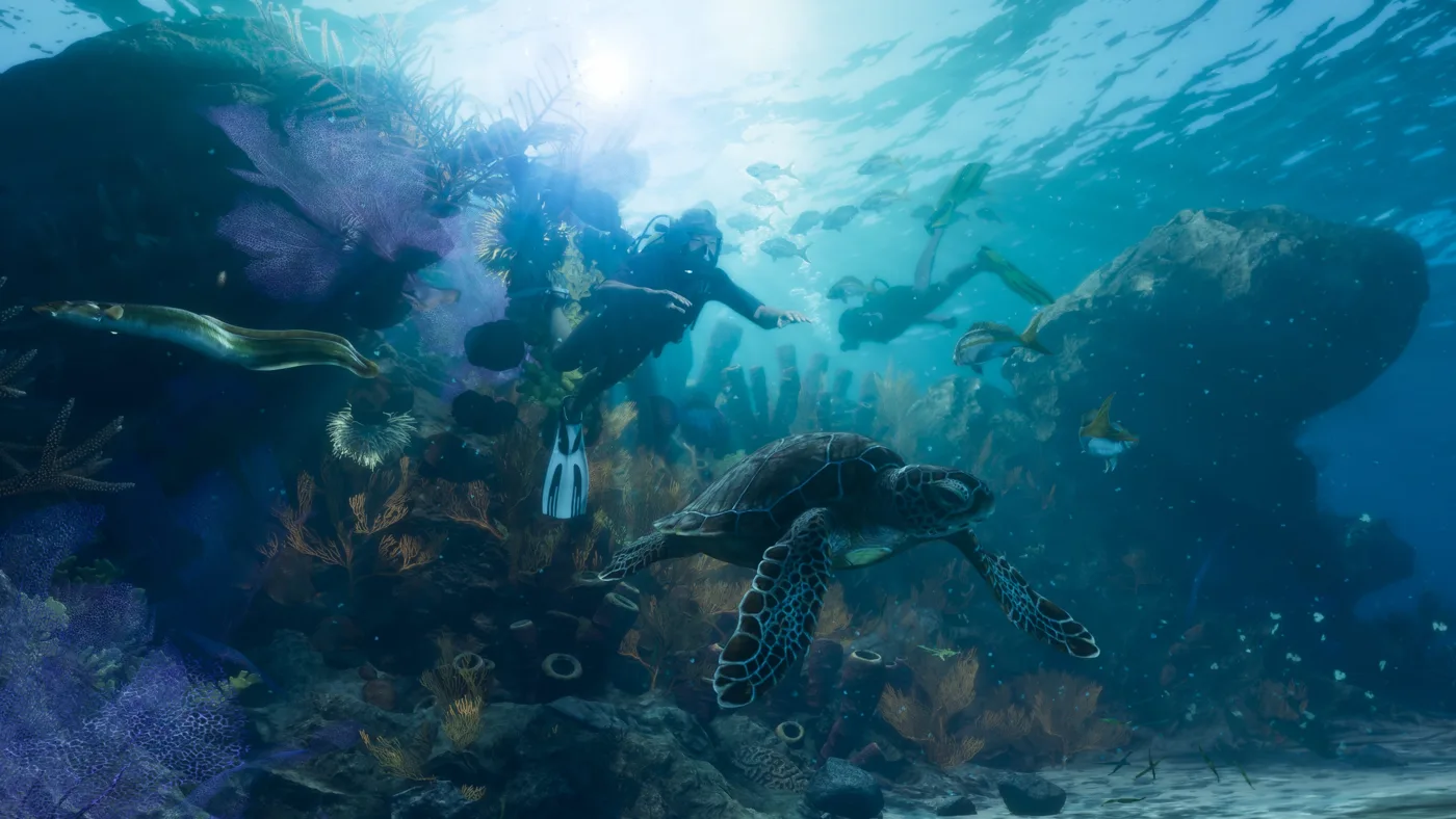
The park’s pictures distinguish environments without establishing total animal counts. A wildlife image cannot prove schedules, encounter probabilities or aggression. Likewise, visible water does not establish a complete navigation network. Our fishing and wildlife guides supply the system context; this page focuses on identifying the location and its pictures rather than duplicating their lists or deriving rules from scenery.
Comparing Kalaga and Grassrivers without mixing imagery
Vegetation and water can appear in both settings without making them the same region. Kalaga’s collection highlights visible relief, while Grassrivers imagery provides another landscape context. This is visual comparison, not a reconstructed border. Preserving original image names prevents swamp pictures becoming mountain evidence or rivers being assigned to the wrong location. Each image reference retains its collection provenance.
A way to explore the gallery before launch
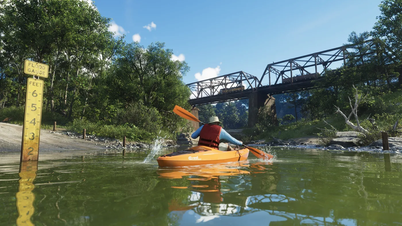
Start with the broad road view to recognise relief, then compare the vehicle and kayak scenes for different uses of space. The three shots are not assumed consecutive or part of one route. This is a gallery-reading suggestion rather than navigation instructions. It helps appreciate variety and formulate exploration questions without needing an invented secret list to make the park interesting.
A visual guide is different from a collectible map
This page lets you compare visual references and recognise official material. A collectible map needs verified points, appearance conditions and reproducible routes. Invented markers would make the page more dramatic while making it less useful. Verified exploration can later support real route distances. For now, the collection’s names and observable features provide an honest foundation.
FAQ: size, secrets and access
Is Mount Kalaga’s exact elevation measured here? No. Are all names on fan maps official? No: separate Rockstar names from reconstruction labels. Are park secrets or rewards verified here? No invented ones are provided. Related region and map-scale guides complete the Leonida context while keeping this page focused on the park rather than creating another general location roundup.