Grassrivers: what Rockstar has established
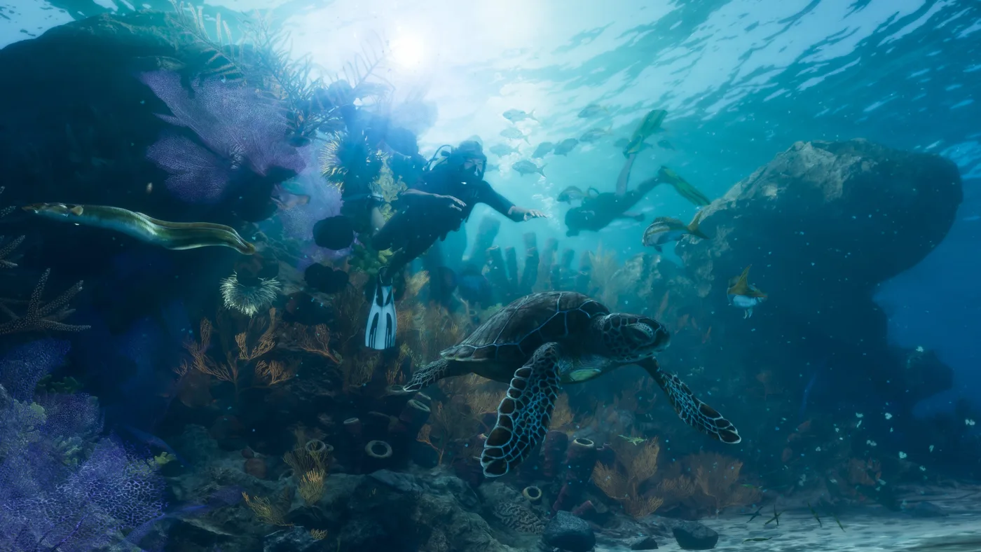
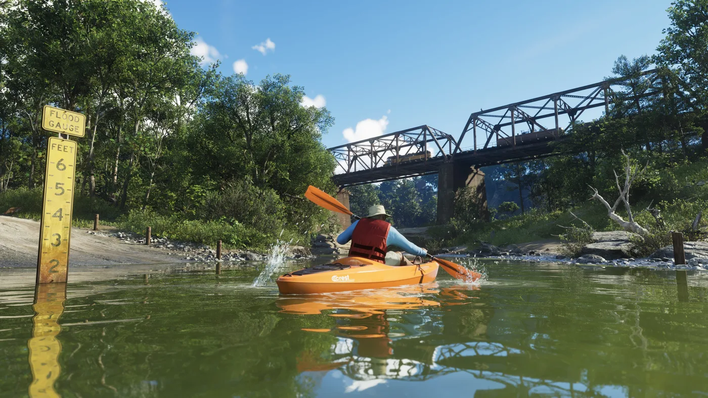
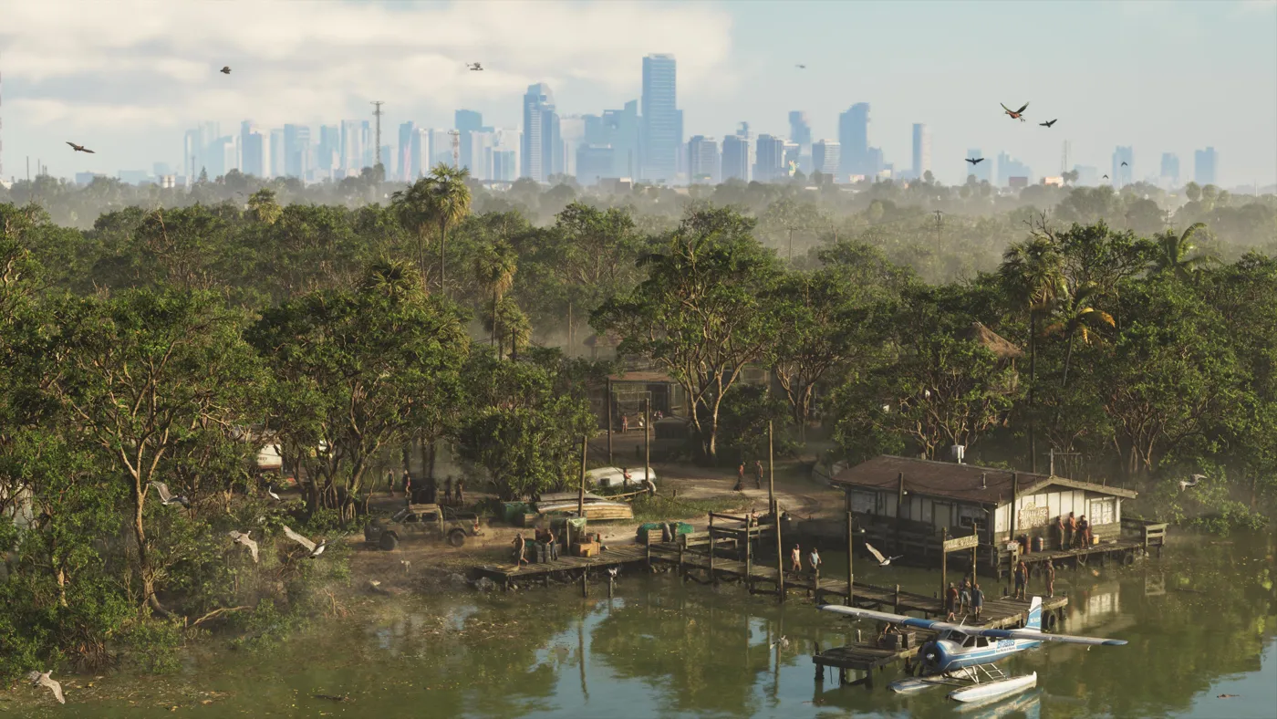
Grassrivers is GTA VI’s wetlands and mangrove region. Rockstar highlights alligators and uses the setting to suggest dangers and discoveries beneath the surface. Three genuine screenshots help examine that landscape without turning promotional language into an invented list of enemies, creatures or missions. This is a location guide rather than Leonida’s general wildlife catalogue.
Places, identity and context
The official presentation describes natural terrain where threats are not all immediately visible. Images establish waterways, vegetation and boats but provide no complete navigable chart. We assign neither an exact real-Everglades acreage nor a precise Vice City border. Geographic inspiration does not require the game to reproduce Florida’s actual distances or connections.
What the screenshots show and what they cannot prove
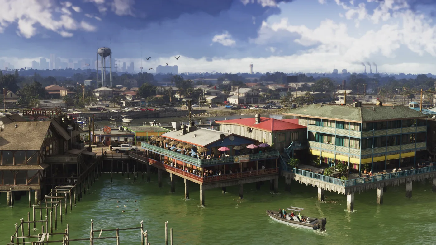
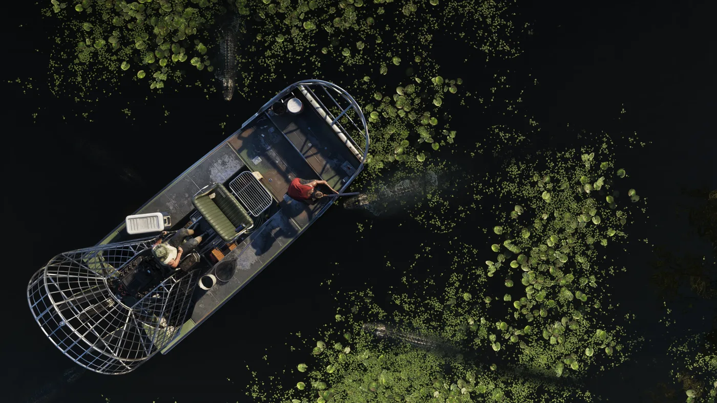
The first inline image shows a speedboat near waterfront structures with a city skyline; the second looks down on an airboat surrounded by alligators. They support discussion of visibility, space and urban-wetland contrast, not a safe route, universal animal behaviour or an attack probability. The wildlife guide separates reported species from still-unverified spawn locations.
Using this guide before exploring
Start with official names, then compare images through their surroundings. A visible place, demonstrated access and a confirmed activity are three different evidence levels. Images help recognise references but provide neither a complete route nor measured travel times. Keep that distinction when using community maps or videos claiming exact locations.
FAQ and related guide
Does this guide contain a complete official Grassrivers map? No. Are the images from GTA VI? Yes: the cover and two inline screenshots use credited official material, without AI or mods. Are missions, collectibles or rewards presented as tested? No; announced information and its limits are identified. Editorial review: October 31, 2026.